Distance: 1.1 miles.
Intersecting trails: Roller Coaster, Crank.
Description: After leaving the Water Tank Road, the trail climbs steeply for 1/4 mile then relents for a 1/2 mile then climbs more steeply to The Altar. Betty is a tough climb but fun downhill. The middle part usually has patches of loose rock.
Photos:
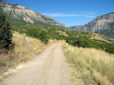
The Altar as seen coming up Betty - Frank is to the right, Betty's Lament to the left, GWT straight. [Better to have a photo of the Altar looking up Frank]
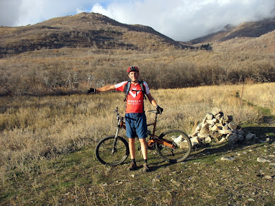
On Water Tank road looking east with Betty trail forking left.
No comments:
Post a Comment